
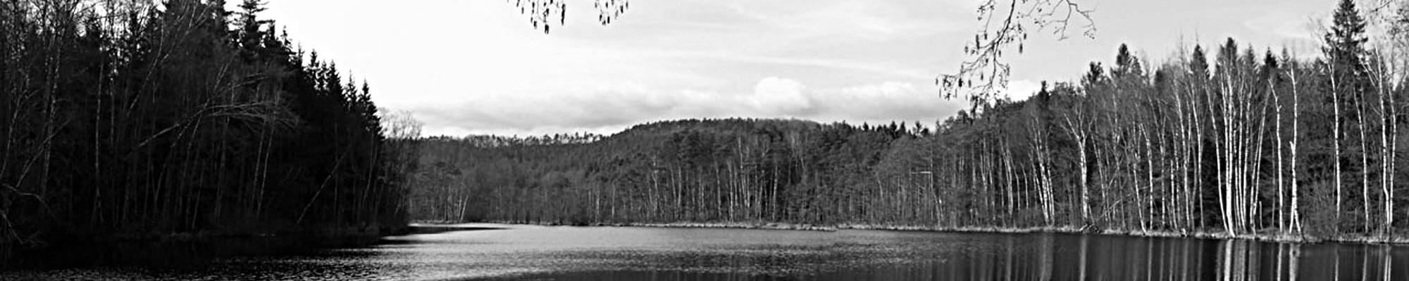
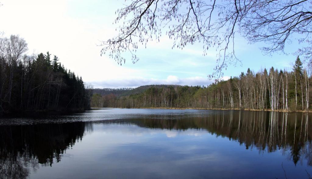
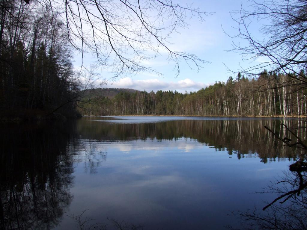
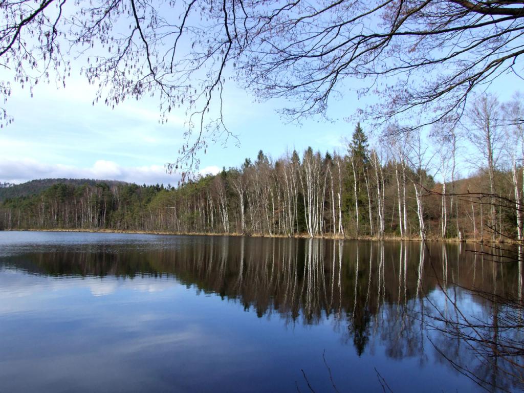
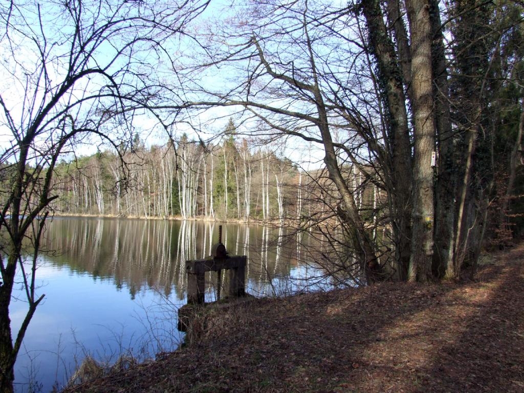
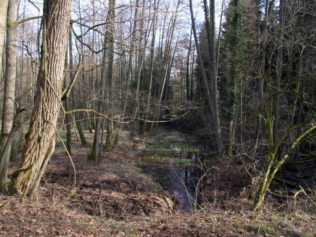
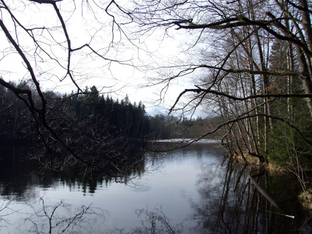
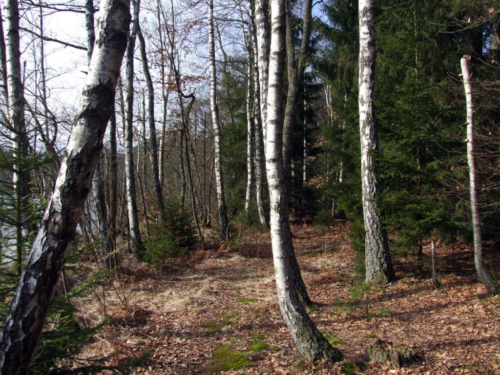
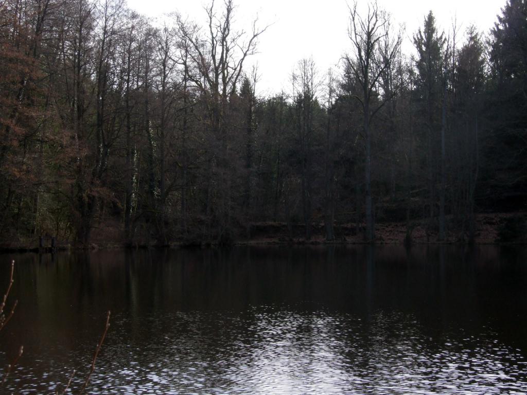
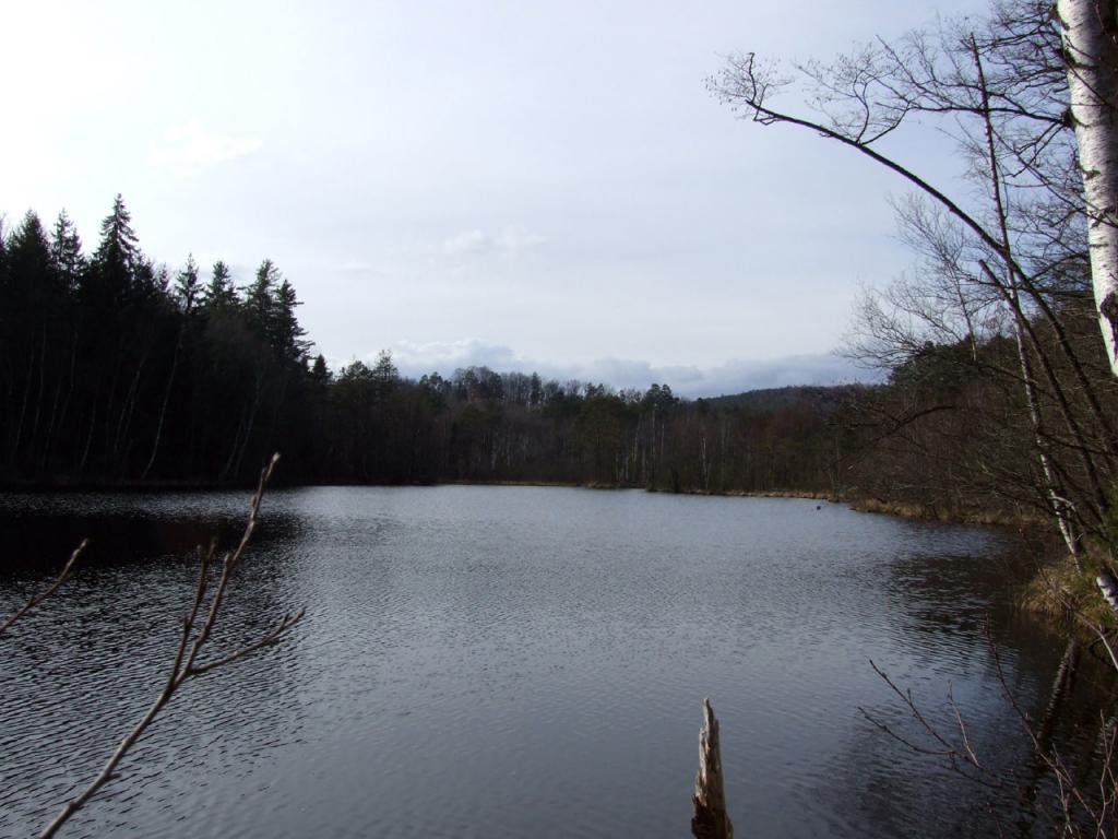
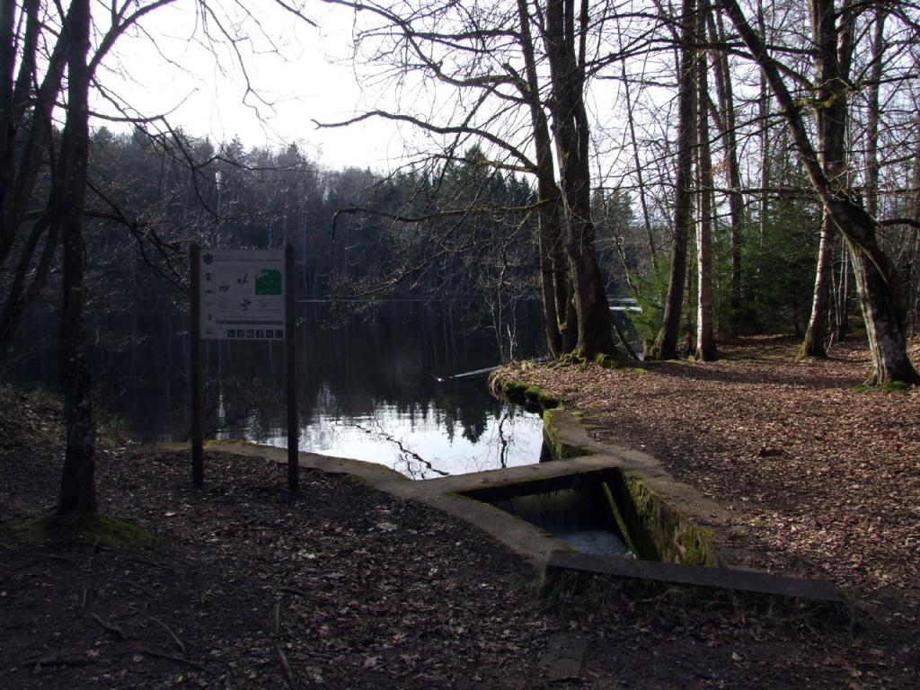
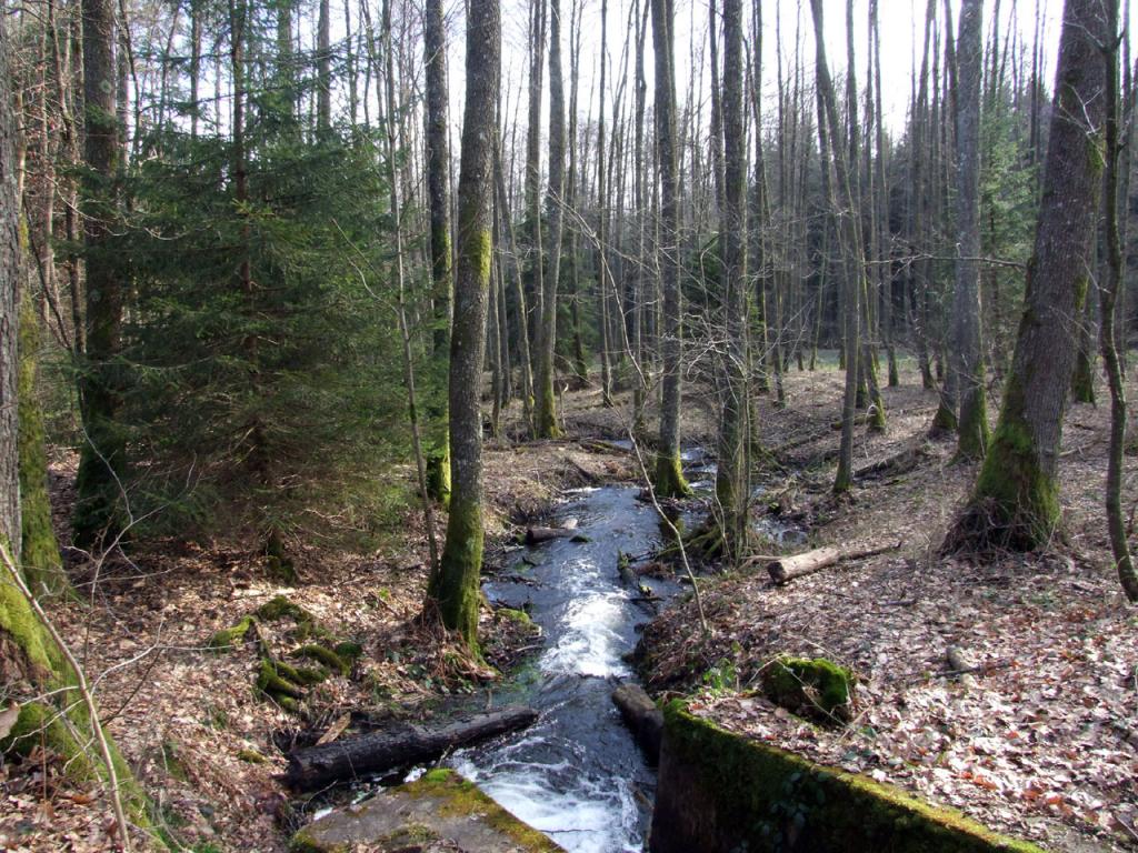
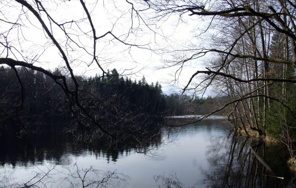
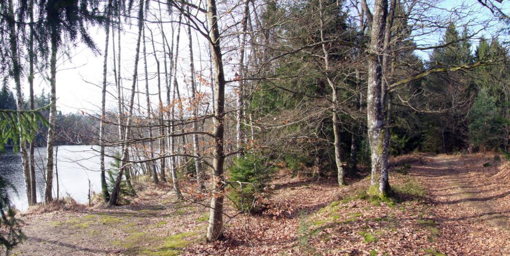
Erbsenweiher Pond
pictures

description
The Erbsenweiher, also known as Erbsenthalweiher (%u201CWeiher%u201D is German for pond), owes its name to the former Erbsenthal estate, which is situated between the communes of Sturzelbronn and Éguelshardt. More precisely, it comprises the terrain between the wooded hills of the Biesenberg (376 m), the Abstberg (375 m), the Erbsenberg (402 m) and the Rothenberg (358 m). The Erbsenthal estate has its origin in the Rothenbach creek bed, swollen with the waters of the Moosbach creek and the Zinsel river. It extends over an area of 33 ½ hectares on both sides of the Zinsel: the left bank belongs to the commune of Sturzelbronn (24,5 hectares) while the right bank is part of the commune of Éguelshardt (9 hectares). The Erbsenweiher has a water surface of 5,5 hectares. It is situated 500 metres downstream from a pond formed by the Rothenbach creek on the height of the Biesenberg forest lodge.