
Hiking Trail "Bach- und Burrenpfad"
pictures
description
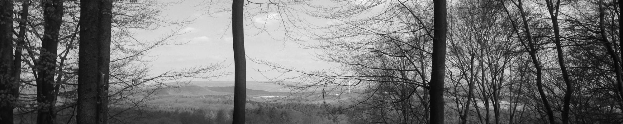
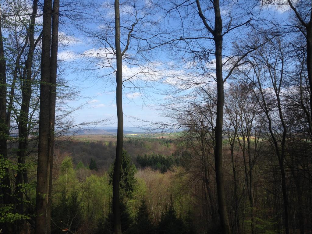
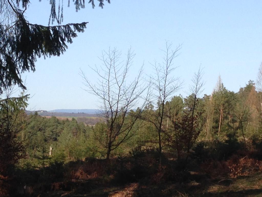
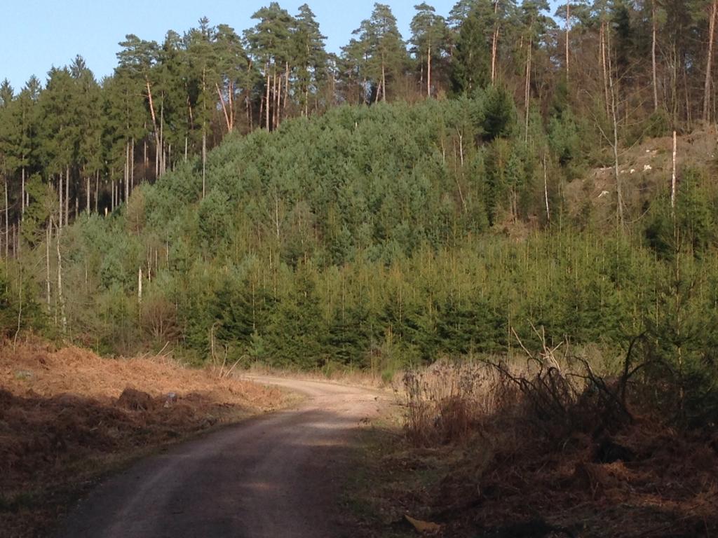
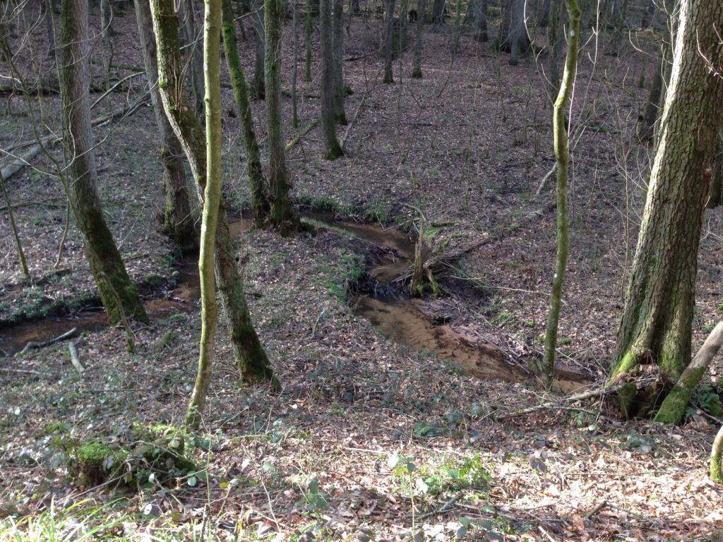
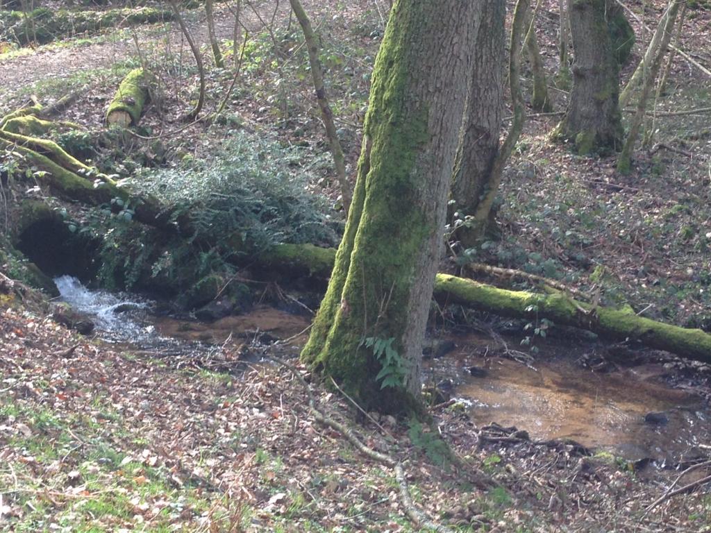
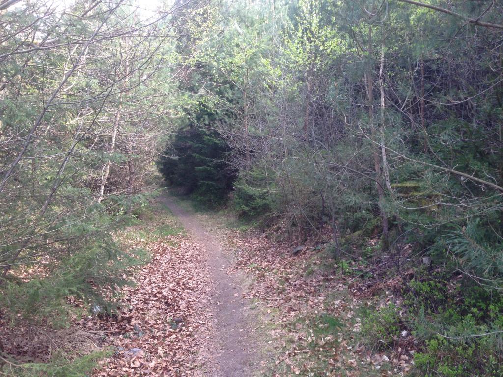
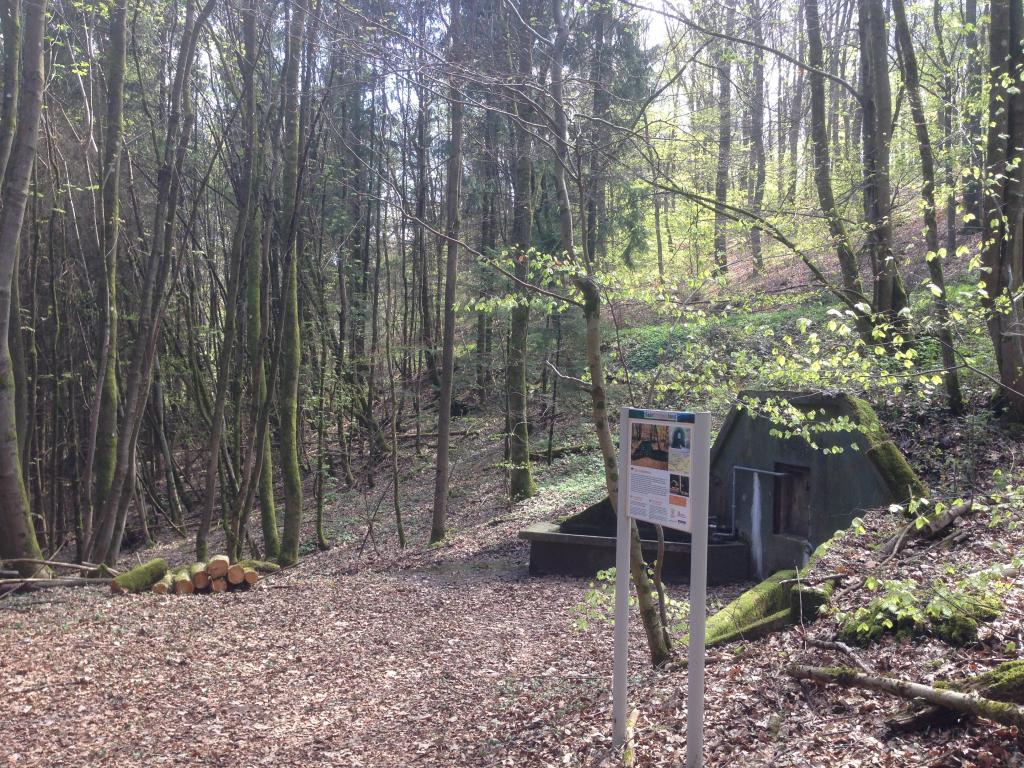
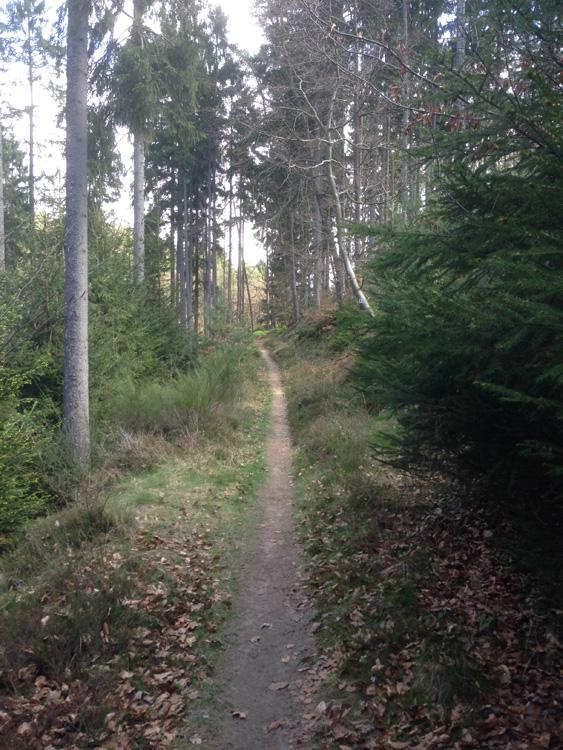
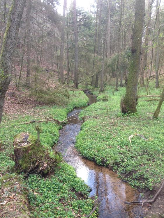
The "Bach- und Burrenpfad" hiking trail passes along 5 creeks and 3 wells that are, for the most part, situated in a mixed forest in the municipal district of Hüttersdorf. The trail offers wonderful views of the municipality of Schmelz, across the Saar Valley all the way to the French region of Lorraine, the timber forest and the "Schaumberger Land" region. Shadowey paths lead through the beautiful mixed forest of Hüttersdorf/Buprich and pass along two small former stone quarries. One particularly remarkable part of the trail is named "Körpricher Schiedung": on a stretch of 1,3 km, hikers can see the so-called "Schiedbäume" (seperation trees), massive beeches and oaks that were planted over two centuries ago to mark the border between the districts of Hüttersdorf and Piesbach. The last third of the trail leads through open fields and offers gorgeous views of the surrounding landscapes. The German Hiking Institute awarded the "Bach- und Burrenpfad" 60 points.